27.5 km of the route above 2,000 m
8.8 km of track / 24.2 km of trail / 15.9 km off road


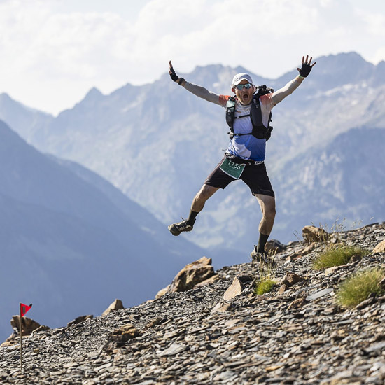
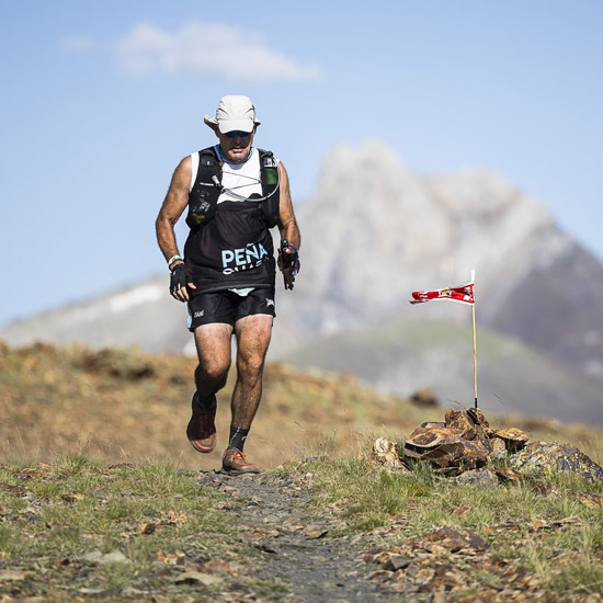
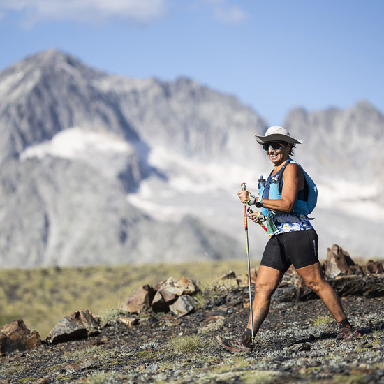
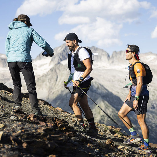
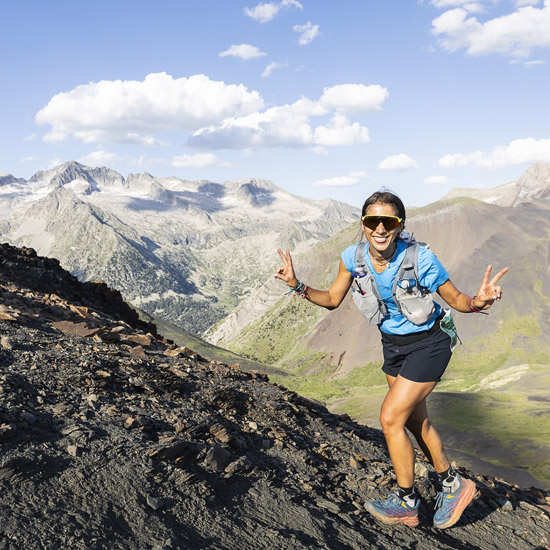
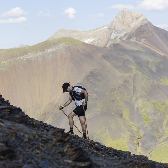
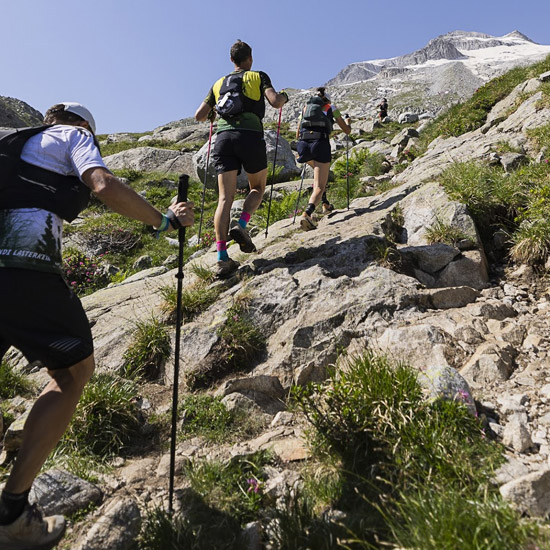
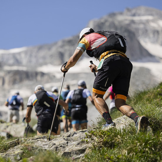
The Vuelta al Aneto runs through all types of terrain, from tracks and paths to chambers and block chaos that surround the Maladeta massif, crowned by the Aneto summit (3 404 m). This great tour begins in the town of Benasque, from where it goes to the refuge of La Renclusa. After visiting the impressive Forau d'Aigualluts, it runs through the Barrancs valley and passes through high-altitude hills, such as Salenques (2 808 m), passes through the Cap de Llauset and Coronas shelters, the Tuca d'Estiba Freda (2 691 m) and the Sierra Negra to return to Benasque, having circulated between endless Iberians and other landscapes of the high Pyrenean mountains.
Registration for the category of teams will take place in July, a few days before the test and the teams must be made up of 2-3 people already registered individually for the test.
Esta carrera, forma parte del Campeonato de Aragón Ultra de CxM, individual y de Clubes | Reglamento de Competición FAM – Link
INFORMATION
Categories
Absolute male and female
Veteran A male and female
Veteran B male and female
Veterana C masculina y femenina
Registration Limit
850 participants
“The high mountain Pyrenean The origin of the GTTAP